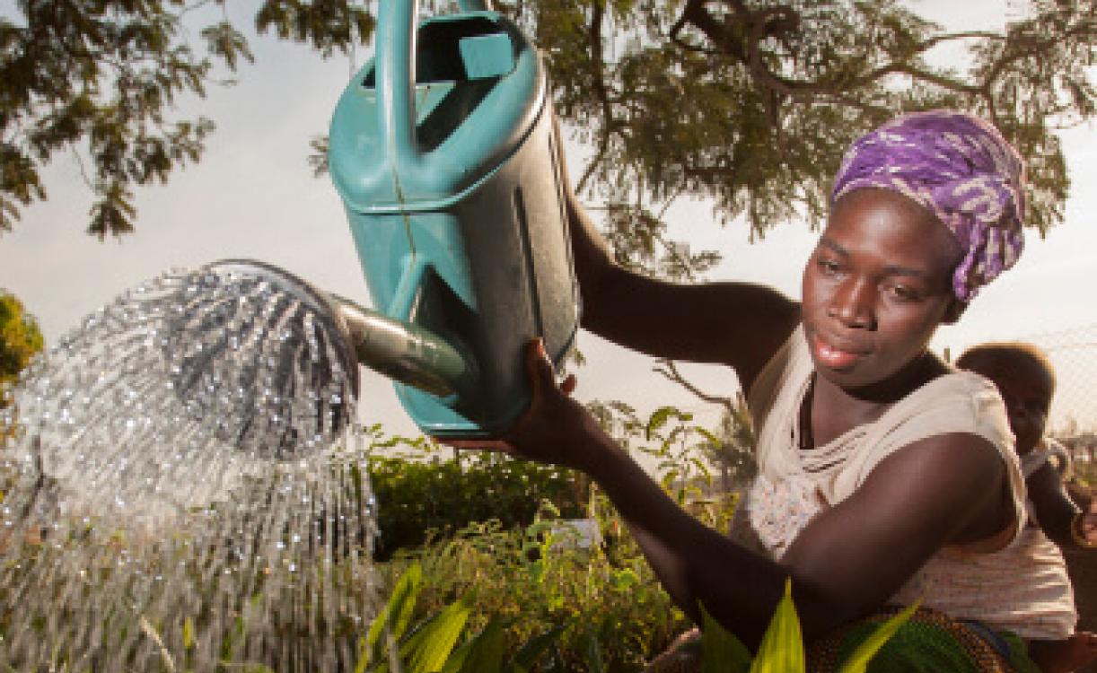
Women's Economic Empowerment


Priorities Areas
and Cross-Cutting Issues


IORA Chair
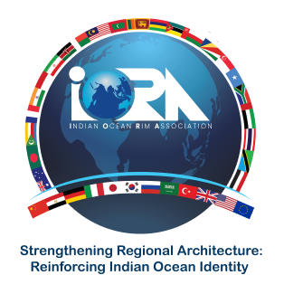
Sri Lanka assumed the position of Chair of IORA at the 23rd Meeting of the Council of Ministers held in Colombo on 11th October 2023 under the theme “Strengthening Regional Architecture: Reinforcing Indian Ocean identity” for the period of 2023-2025
IORA Member States
Commonwealth of Australia

People's Republic of Bangladesh

Union of Comoros

French Republic

Republic of India

Republic of Indonesia

Islamic Republic of Iran

Republic of Kenya

Republic of Madagascar

Malaysia

Republic of Maldives

Republic of Mauritius

Republic of Mozambique

Sultanate of Oman

Republic of Seychelles

Republic of Singapore

Federal Republic of Somalia

Republic of South Africa

Democratic Socialist Republic of Sri Lanka

United Republic of Tanzania

Kingdom of Thailand

United Arab Emirates

Republic of Yemen

IORA Dialogue Partners
Arab Republic of Egypt

European Union

Japan

Kingdom of Saudi Arabia

People’s Republic of China

Republic of Germany

Republic of Italy

Republic of Korea

Republic of Türkiye

Russian Federation

United Kingdom

United States of America

IORA Flagship Projects